
Penfield Neighbor Sources
Official Penfield records answer different questions about a Penfield block. Monroe GIS is the direct source for Penfield parcel geometry and map context. Assessment data can add a Penfield parcel identifier, situs, roll date, class, and owner-of-record display. The election route is a supervised, purpose-specific record, not a block directory. The Penfield Town Historian and Local History Room help place a road or parcel in a dated historical context. None of those sources proves who occupies a Penfield home now or who knows whom.
| Source | What It Shows About a Block | Access |
|---|---|---|
| Monroe ArcGIS parcel service | Penfield parcel geometry, parcel address, owner-mailing components, SBL-related fields, historical book/page, and map context | Online Penfield map-service reference |
| Penfield BAS and County property records | Penfield parcel and assessment-roll context, including an owner-of-record lead | Online by address, owner/business, SBL, or location; Town and County routes for records |
| Monroe Board of Elections | Purpose-specific Penfield registration or polling information for an authorized, supervised lookup | Online lookup and supervised public inspection under New York law |
| Town Historian and Local History Room | Older Penfield maps, directories, family/property files, clippings, cemetery and census material | Appointment and research route at the Community Center |
| Town community pages | Penfield municipal departments and current public-service context | Official Town website; no comprehensive association directory located |
A Penfield parcel relationship is the narrowest accurate label. It identifies land geometry, not a social relationship or a current household. Keep a source date beside each result, because a Penfield roll, directory volume, or live map layer can describe different moments.
Penfield Parcel Map Method
The Monroe ArcGIS parcel service exposes the geometry needed to identify parcels that touch a selected Penfield parcel. It also publishes fields for parcel address, owner mailing components, roll section, neighborhood code, grid coordinates, and historical book and page. This makes the map useful for a bounded Penfield parcel comparison. It does not turn the layer into a people directory, and the fields must be treated as dated property information.
The official Penfield parcel-geometry service is the source shown for this method.
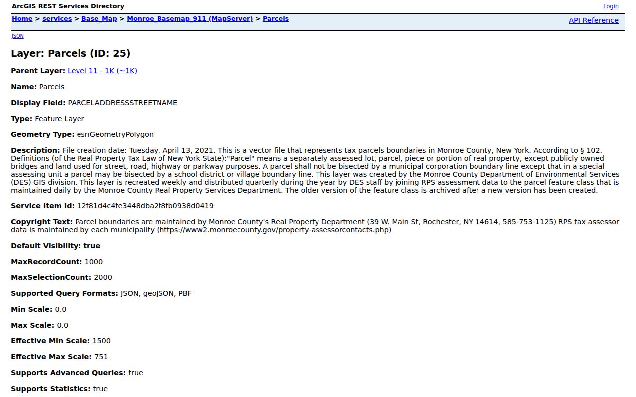
The Penfield service view demonstrates why parcel outlines are the right public-facing map feature. A privacy-safe Penfield example can show roads and geometry while suppressing readable personal fields and avoiding a household constellation.
Map a Penfield Block
Start with the current Penfield situs address, then work outward only as far as the parcel geometry supports. The record trail is: target address to parcel geometry, geometry to touching parcels, touching parcels to parcel IDs and dated assessment context, then a source-labeled result. A shared Penfield boundary, a road edge, or a ZIP edge has its own map meaning and should not be collapsed into the same conclusion.
- Find the Penfield target in Monroe County GIS and confirm the parcel address rather than relying on a mailing label.
- Inspect the geometries that touch the Penfield target parcel, preserving the GIS service date or version in the research note.
- Use the Penfield parcel ID or SBL to check Penfield BAS or the County property route for roll and parcel context.
- Separate Penfield parcel situs from the owner mailing address, and label an owner result as owner-of-record rather than occupant.
- For a Penfield historical question, pair the parcel with a dated directory, assessment source, or map before drawing a conclusion.
For a whole named Penfield road rather than the immediate block, use the Penfield Street Directory. That address-by-address workflow is broader than the adjacent-parcel method used here.
Penfield Situs and Mailing Fields
Monroe County GIS for Penfield can publish both the parcel address and components of the owner mailing address. Those fields must remain distinct. A person or organization can receive mail away from a Penfield parcel, and a parcel's location may carry a postal city that differs from its municipality. Monroe assessment samples also show why the municipality or SWIS field needs review instead of a conclusion based only on a Penfield mailing address.
| Field group | What it supports | What it cannot establish |
|---|---|---|
| Parcel or situs address | Location of the mapped Penfield parcel | A current resident or mail recipient. |
| Owner mailing components | Where a Penfield tax or owner-of-record mailing field is directed | That the owner lives at the parcel. |
| SBL and parcel identifiers | A Penfield cross-source key for assessment and land-record research | A social or household relationship. |
| Historical book/page | A lead into dated Penfield recorded-land research | Current ownership or occupancy without a current source. |
The responsible Penfield offices differ. The Penfield Town Assessor prepares the roll, Monroe County Real Property and GIS publish Penfield parcel and mapping data, and the Monroe County Clerk records Penfield land instruments. Use the office that holds the record instead of expecting one field to answer every question. A current Penfield roll or card can also be pursued through the Town Assessor at Town Hall, 3100 Atlantic Avenue, second floor, (585) 340-8610, or through the County public-office route. The Penfield Local History Room is the documented library fallback for historic property files, maps, and clippings.
Note: A Penfield apartment, condominium, or other shared parcel may hold several units, so parcel adjacency cannot identify individual units.
Penfield Election Record Limits
The Monroe voter lookup asks for Penfield street number, street name, ZIP Code, last name, and date of birth. Possible outputs include registration status, polling place, sample ballot, ballot status, and elected officials. That field design shows why the tool is not a bulk Penfield block search. It is a controlled election function with a stated purpose, and research should never submit personal information merely to demonstrate it.
Under New York Election Law §3-220, Penfield registration records are available for supervised public inspection, while driver-license numbers, non-driver identification numbers, Social Security numbers, and facsimile numbers are restricted. The Monroe registration route also describes confidential registration. When a Penfield address is protected, omit the record and do not attempt to rebuild it from mapping or postal fields.
Penfield Community Directory Gap
The official Penfield Town pages verified municipal departments, the Penfield Town Historian, the Penfield Local History Room, and other public-service routes. They did not expose a stable, comprehensive Penfield directory of neighborhood associations. That absence is a research finding. It is safer to report the Penfield gap than to assemble an informal membership list from uncontrolled sources or assume that parcel proximity reflects a civic group.
| Documented route | Useful community context | Access |
|---|---|---|
| Town Historian | Historical names, local files, and context for roads or places | Appointment-based research at 1985 Baird Road |
| Local History Room | Directories, maps, clippings, census, cemetery, church, school, and property material | Seasonal hours; verify before visiting |
| Town Clerk and minutes | Existing Town records, legal notices, and FOIL routing | Town Hall and official request route |
| Official Town community pages | Current municipal department links and notices | Online official Town route |
The Town of Penfield community and department pages provide the documented starting point for those official routes.
The Penfield Town page helps route a Penfield records question to a responsible department. It does not supply a verified neighborhood roster, which remains an identified gap in the research.
Four Corners Block Context
Historical place names can improve a block search when an old address will not match a modern parcel. Four Corners, at Five Mile Line Road and Penfield Road, developed as a business and residential center but was never incorporated as a village. An old entry may use Four Corners as a locality description without pointing to a separate government office or distinct set of municipal records.
The Town history for Four Corners and Penfield supplies the local context for this distinction.
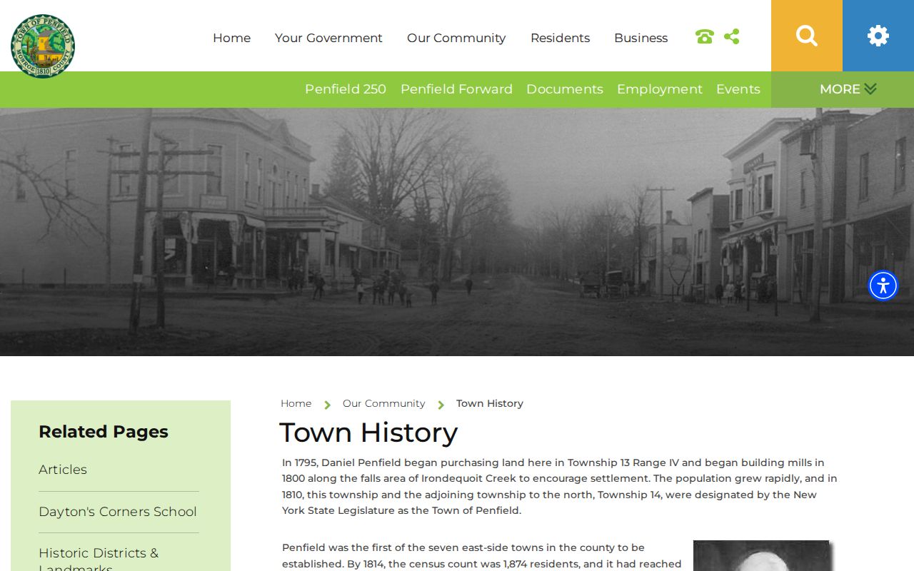
Use the historical locality, the road name, and the current parcel as separate search terms. Their agreement can strengthen a dated location match, while disagreement signals a boundary or numbering problem that needs more research.
Penfield Historical Block Sources
Historical block research depends on dates. Rochester house directories cover 1892 through 1920, and later main directories place house information in back sections beginning around 1922 to 1924. Suburban directories begin in 1930, but a Penfield result must be confirmed in the actual volume. The Local History Room holds directories, maps, census material, property files, newspapers, cemetery and church sources that can provide corroborating context.
Town boundaries also change the historical answer. Township 14 became Webster in 1840, so an older Penfield reference may not align with a current municipal label. Pair a directory or assessment source with the period map, preserve the address as printed, and label the result as a historical occupant, owner, business, or nearest directory entry. A no-hit means little unless the checked volume is known to cover that street and year.
Note: The Local History Room has seasonal hours and appointment-based research, so confirm access before relying on it for a specific historical block question.
Penfield Neighbor Privacy
Only the minimum dated, source-linked facts should be used for a lawful personal research purpose. Do not publish or seek Social Security numbers, DMV identifiers, full dates of birth, private phone or email information, signatures, medical details, confidential voter addresses, or protected address information. A parcel owner, deed party, voter, court party, and historical occupant are different labels. One result should never be presented as proof of a current resident.
| Official record role | Commercial people-directory category | Careful conclusion |
|---|---|---|
| GIS parcel geometry | Broad claims about people around an address | Use the official geometry only to identify adjacent parcels. |
| Assessment owner-of-record field | Untimed identity summaries | Label it as a dated property record, not occupancy. |
| Election lookup | Bulk person lists | Follow its supervised, purpose-specific access rules. |
| Historical directory entry | Current-contact assumptions | Keep the year, volume, and historical role with the entry. |
New York's Address Confidentiality Program provides a substitute mailing address and requires government agencies to safeguard an eligible participant's actual address. The New York stalking statute also sets a clear safety boundary for unwanted contact and tracking. A privacy concern requires suppression and review, not more searching.