
Penfield ZIP Code Coverage
Monroe County's Penfield ZIP layer is a mailing-geography reference, not a municipal boundary file. It exposes ZIP and ZIPCITY fields, along with geometry and shape measures. The layer includes one primary Penfield ZIP and several values useful for nearby or edge verification. Those values should not be read as a complete list of ZIP codes that belong only to Penfield. An address-specific result from the Postal Service and the current Monroe County GIS context for Penfield decide a particular record.
| ZIP | Areas Covered | Post Office | Notes |
|---|---|---|---|
| 14526 | Primary Penfield address examples and the Town Hall area | Penfield Post Office, 2080 Fairport Nine Mile Point Road | Associated with Penfield, but not proof of a Town boundary or occupancy. |
| 14625 | Eastern and urban Penfield-area mailing context in the County layer | Panorama Branch, 1614 Penfield Road Ste 2, Rochester | A Rochester mailing city can differ from the Penfield parcel municipality. |
| 14450 | Penfield-adjacent regional postal context | Fairport Post Office, 6740 Pittsford Palmyra Road | A Fairport ZIP or post office does not establish a Penfield parcel. |
| 14502 | Macedon-area value present in the Monroe County layer for Penfield | No local post-office example located in the research | Use as a Penfield edge check only. Exact Town street coverage was not located. |
| 14580 | Webster-area value present in the Monroe County layer for Penfield | No local post-office example located in the research | Useful for Penfield historical boundary checks after the former Township 14 became Webster. |
The table preserves the difference between an observed service value and a claim of exclusive coverage. A Penfield property can carry a postal city, an assessment municipality, a school district, and a ZIP that do not match one another. Monroe County GIS for Penfield and the full USPS address result are better checks than a ZIP alone.
Verify a Penfield ZIP Code
The official USPS ZIP Lookup offers three routes: By Address, By City and State, and Cities by ZIP. By Address is the best first choice when a Penfield street number, street name, mailing city, and state are known. Add a unit when one applies. The city-and-state path can help with an old or uncertain Penfield address, while the ZIP path supplies the postal places associated with a code. USPS cautions that its result does not confirm that a person or organization is at that address.
| USPS route | Fields or action inspected | Use for a Penfield record |
|---|---|---|
| By Address | Company optional; street address; city; state; ZIP; Search | Standardize a complete Penfield address before comparing it with parcel data. |
| By City and State | City; state | Check Penfield postal-place options when the address form is incomplete or old. |
| Cities by ZIP | ZIP; Find | See Penfield postal city context without treating it as municipal jurisdiction. |
Keep the original wording from an older Penfield deed or directory in a separate dated note. Modern USPS normalization is a second layer, not a replacement for the historical address as printed. A USPS retail counter can answer Penfield service questions, and USPS tools or support remain the official follow-up when the online form fails. The Penfield library route can help with map or directory research, but it cannot certify a Postal Service result.
Note: A returned ZIP is a mailing result, so it needs a parcel or map check before it is used as a Penfield jurisdiction label.
Read Penfield ZIP Code Polygons
The Monroe ArcGIS ZIP layer is useful for seeing the service geography around Penfield. Its published fields include ZIPCITY and ZIP, while its geometry gives the Penfield polygon context. The Penfield map can be compared with parcel boundaries, but the two layers serve different purposes. A Penfield parcel touching a ZIP polygon is not automatically in the same mailing city, and a postal city does not settle the parcel municipality.
See the official Monroe County ZIP-layer reference for Penfield before relying on a map value.
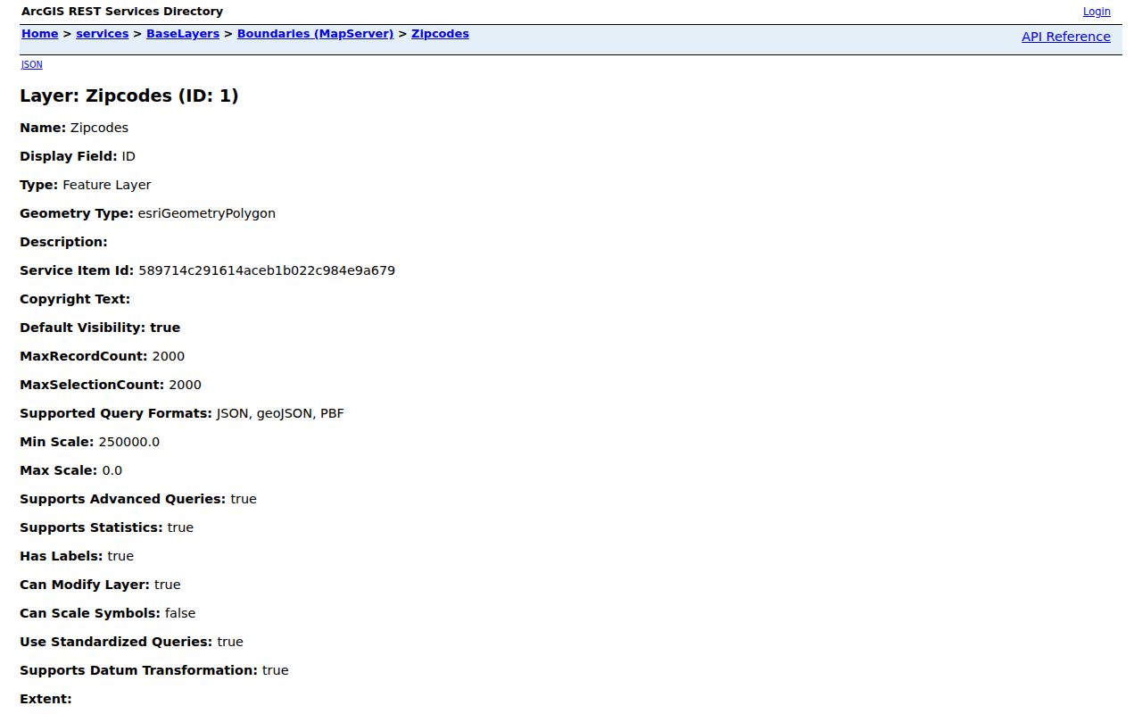
The layer image is a Penfield schema and map-context reference. It supports a geographic comparison, not a list of current residents or a guarantee that every polygon portion is within the Town.
Penfield ZIP Code Delivery Details
The USPS AIS Viewer adds current Penfield ZIP information, city and state, county, delivery statistics, ZIP+4 context, and address lookup. Research notes describe monthly updates, so a Penfield result should carry the date it was checked. AIS is an address-quality reference, not an exportable people database. It can refine a mailing result, yet it cannot establish who receives mail at a particular address.
The USPS AIS Viewer is shown below as the current delivery-reference route recorded for Penfield.
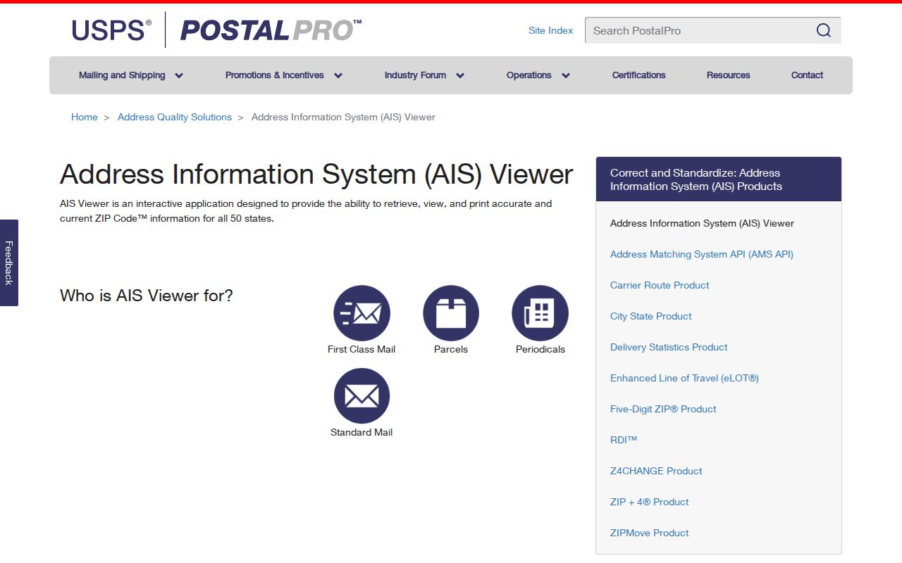
Use the displayed Penfield ZIP and delivery context with a source date. When a record is historical, preserve its original Penfield postal wording alongside the current result instead of silently updating it.
Find Records by Penfield ZIP Code
A Penfield ZIP can narrow the starting point, but none of the documented official tools is a complete Penfield ZIP-wide resident roll. BAS offers a city selector in its By Address route, not a visible ZIP filter. Monroe property reports may be reached through a Penfield parcel key. The voter lookup includes ZIP among several required context fields, and the Monroe County GIS layer for Penfield is queryable by postal geography. Use each source for the role it actually records.
- Use USPS By Address to confirm the standardized Penfield mailing ZIP, city, and unit when relevant.
- Compare that Penfield result with the County ZIP polygon and the parcel's municipality or SWIS field.
- Use Penfield BAS by address, SBL, owner or location to find the parcel record when the search is property-focused.
- For a Penfield voter-status question, use the Monroe voter lookup only with its street, ZIP, surname, and date-of-birth fields, and follow its purpose limits.
- Record the Penfield source URL, search date, record role, and any no-result limitation before comparing sources.
Once a verified ZIP narrows the area to a particular road, the Penfield Street Directory is the better route for a full address-by-address records workflow. A ZIP is a broad postal frame, not a substitute for an exact street search.
For a current Penfield assessment card or roll question, the Town Assessor is at Penfield Town Hall, 3100 Atlantic Avenue, on the second floor, at (585) 340-8610; County public offices provide the related Monroe County route for Penfield. The Penfield Local History Room can add historic property files, maps, and clippings, but it is not the authority for the current roll. These alternatives matter when an online Penfield parcel result is incomplete.
Penfield ZIP Code Is Not a Roll
Monroe County property and GIS systems for Penfield can identify a parcel, its situs, an owner-of-record field, and assessment context. They do not establish current occupancy. The Monroe voter tool can return limited Penfield registration and polling information for a purpose-specific search, but public inspection is supervised under New York Election Law §3-220 and restricted fields are withheld. These Penfield records cannot be merged into a blanket ZIP list of people.
| Source | ZIP-related use | What remains unproven |
|---|---|---|
| USPS | Standardized Penfield mailing ZIP and ZIP+4 context | Who lives or receives mail at a Penfield address. |
| County ZIP layer | Penfield postal polygon and ZIPCITY context | Penfield Town jurisdiction for every point or parcel. |
| Assessment and GIS | Penfield parcel, situs, owner-mailing fields, and roll information | Current occupant status. |
| Election lookup | Purpose-specific Penfield registration and polling information | A general public Penfield ZIP directory. |
For a specific Penfield source result, label it as a postal result, parcel result, owner-of-record result, or voter result. That small distinction prevents a Penfield mailing code from turning into an unsupported claim about a person.
Note: Monroe election records have confidential-registration rules, and protected Penfield addresses must never be reconstructed from a ZIP or map layer.
Historic Penfield ZIP Code Labels
Older Penfield address research needs a date as much as it needs a ZIP. Rochester house directories cover 1892 through 1920, and later main directories place house information in back sections beginning around 1922 to 1924. The regional suburban run begins in 1930, though Penfield inclusion must be checked in the actual volume. These sources preserve the Penfield address as it was used at the time, including older place names and numbering.
Penfield's historical geography adds another reason not to backfill a modern ZIP into an old entry. Township 14 became Webster in 1840. A record once described as Penfield may therefore need a modern Webster or other municipal cross-check. The Town Historian and Local History Room are the documented fallback when an old number, road spelling, or place name does not reconcile with a current parcel.
Penfield ZIP Codes and Town Lines
Penfield Town borders, Penfield parcel boundaries, ZIP boundaries, and mailing cities are different geographic systems. A 2024 assessment sample used in the research carried a Penfield postal address while displaying Perinton as its municipality. That Penfield example is a reminder to read the municipality or SWIS value rather than inferring jurisdiction from the mailing label. The Town of Penfield map, Monroe County GIS for Penfield, and USPS result all belong in a careful boundary check.
- ZIP
- A Postal Service delivery geography used to sort Penfield mail. It is not a municipal boundary.
- ZIP+4
- An added delivery segment that gives a more precise Penfield mailing context than the five-digit ZIP alone.
- PO-box ZIP
- A ZIP used for post-office box delivery. No Penfield-specific PO-box-only ZIP was located in the research.
- Unique ZIP
- A ZIP assigned to one organization or delivery arrangement. No Penfield example was documented in the research.
- Carrier route
- A Penfield mail-delivery grouping that can help Postal Service operations but does not define a Town or parcel boundary.
The research did not locate an authoritative street-by-street ZIP crosswalk for all Penfield roads or a full Penfield delivery-unit crosswalk. For an unresolved Penfield address, keep the result as an address-level research gap and return to current USPS and Monroe County GIS queries for Penfield rather than guessing.
Check Every Penfield ZIP Code Result
A useful Penfield record note separates the USPS ZIP returned on the search date, the mailing city, county, parcel municipality, and source URL. Add the Penfield source date and, when available, the roll year or historical record date. That format makes it clear whether a result came from a live postal tool, a dated assessment record, a map layer, or an archival directory.
When a Penfield result cannot be confirmed, record what was checked: a ZIP polygon, USPS address lookup, parcel route, or historical volume. “Not found,” “not searched,” and “not a match” are different outcomes. The documented gap is a better result than an invented Penfield boundary or an unverified resident claim.
Note: USPS AIS information changes monthly, so repeat the Penfield address check when a current ZIP or delivery detail will affect a later records search.