
Trace a Penfield Street Directory
Begin with the address, not a name. The official Penfield path starts by standardizing a Penfield address through USPS, then locating the Penfield property in the Town's BAS parcel search or a County property report. The Penfield parcel ID or SBL, municipality or SWIS, situs, roll date, and any historical book or page form a stronger bridge than a street name alone. From there, the Monroe County Clerk index can show Penfield recorded land instruments, and dated directories can test who appeared at that Penfield address in an earlier period. This Penfield address method does not treat ownership, mailing address, registration, and occupancy as interchangeable.
- Use USPS ZIP Lookup with the full address. Try the City and State route for an old or uncertain form, and retain the returned ZIP separately from the parcel municipality.
- Search the Penfield BAS parcel search by address. If the number is problematic, use the resulting SBL rather than guessing from a similar street entry.
- Compare the situs, municipality, ZIP, parcel boundary, and owner-mailing fields through Monroe County GIS. An owner mailing address can be outside Penfield.
- Use the free index at Monroe County Clerk IQS for the current recorded party, instrument, date, and book or page. Trace a deed backward by the prior party and legal description.
- For historical household evidence, test the precise street form in the Rochester house and main directory runs, then compare it with a census, local file, or other dated source. The library collections themselves are described in the Penfield Directory Book.
Penfield voter information is a separate, supervised public-record function. The Monroe lookup asks for street number, street name, ZIP, last name, and date of birth, and can return Penfield status, polling, ballot, or elected-official information where available. It is not a Penfield street roster. The Monroe Board of Elections also provides the office and phone route for Penfield registration and polling questions. Penfield registration records may be confidential, and New York Election Law protects restricted identifiers. A result should be labeled as a Penfield voter record on its source date, never as proof that every person living at an address was found.
Normalize Penfield Street Addresses
Penfield address spelling is a research step, not a cosmetic cleanup. Preserve each Penfield source spelling while recording house number, unit or fraction, directional prefix, street name, suffix, post-direction, mailing city, state, ZIP, parcel ID or SBL, municipality or SWIS, and source date. USPS provides address, city-and-state, and ZIP lookup paths, but it warns that a returned ZIP does not establish that a person or organization is at the address. Penfield County GIS likewise separates a parcel address from the owner-mailing components.
For a Penfield rural or legacy address, try the Penfield road name without its suffix before moving to the County map and older directory street guide. Do not convert a Rochester mailing label into a Penfield municipal conclusion. A County sample property card for a Penfield postal address displayed Perinton as its municipality, which is why the Penfield municipality or SWIS field needs its own check. An empty Penfield exact-address search is also not evidence that the road had no earlier occupant. Record the Penfield alternative form searched and the years or volumes actually checked.
Note: Keep historical city and ZIP text as printed, then add any modern USPS normalization as a separate, dated field.
Read the Penfield Street Grid
The 2024 Monroe County Town of Penfield map supplies a Penfield street index and grid references. It is useful for confirming a Penfield road's spelling, suffix, and general location before a Penfield parcel search. Penfield Road, Five Mile Line Road, Atlantic Avenue, Fairport Nine Mile Point Road, Jackson Road, Baird Road, and Creek Street are recognizable Penfield orientation roads, but no map label identifies a current occupant. Use the Penfield grid to reduce a spelling error, then return to BAS or GIS for the individual Penfield parcel.
Penfield road history also needs a boundary check. Township 14 was part of Penfield until it became Webster in 1840. Older Penfield deeds, church records, and directories can therefore use Penfield for land a modern map places in Webster. Four Corners, at Five Mile Line Road and the road to the mills now associated with Penfield Road, was a Penfield business and residential center but was never an incorporated village. Search the Penfield road, locality, historical place name, and current parcel as separate possibilities rather than silently modernizing an old location label.
Search Penfield Street Records in BAS
The BAS Penfield parcel search exposes four Penfield lookup modes. By Address is the first choice for a current Penfield street entry. By SBL becomes the preferred Penfield cross-source key once a parcel number is known. The Penfield landing route did not require login for ordinary inspection, showed no payment for routine lookup, and did not expose search-year coverage. Treat the result as a current Penfield assessment lead, not a complete account of every person connected to the address.
| Visible BAS field | Form | Use on a street search | Important limit |
|---|---|---|---|
| By Address | Mode choice | Starts an exact Penfield street lookup | Select the mode before entering a Penfield address |
| Street # | Text input | Tests the Penfield house number | Historical Penfield number forms may need separate attempts |
| Street | Autocomplete or text | Uses the official Penfield street spelling | Do not substitute a guessed Penfield suffix |
| City | Select | Adds Penfield address context | Visible options were not exposed; postal city is not municipal proof |
| By Owner/Business | Mode and name field | Offers a Penfield owner lead | It does not establish a Penfield occupant |
| By SBL | Mode and parcel input | Connects the Penfield address to a parcel key | Use only a Penfield SBL obtained from a record |
| By Location | Mode and area field | Supports a Penfield area lookup | Exact behavior was not fully exposed |
The Monroe property report adds Penfield municipality or SWIS, parcel ID, assessed value, class, school district, lot or acreage, zoning, roll year, building facts, sales history, prior owner, and book or page when present. The inspected Penfield examples showed a final roll dated July 1, 2024 and a database sync dated September 13, 2024. Those dates show how to read currency on a Penfield card; they do not promise the same date on each report.
Compare Penfield Street Record Fields
Penfield GIS gives the Penfield street-record search its geographic check. The County ArcGIS parcel layer for Penfield exposes parcel address, owner address components, owner city, state and ZIP, roll section, neighborhood code, grid coordinates, historical book and page, and geometry. Penfield parcel boundaries are maintained by County Real Property, while assessment data arrive through municipal RPS feeds. Keep the Penfield GIS service name and date with a map reference, because layers can be refreshed on different schedules and a parcel map is not a legal survey or a current-person register.
See the Monroe County GIS entry point before using its map services.
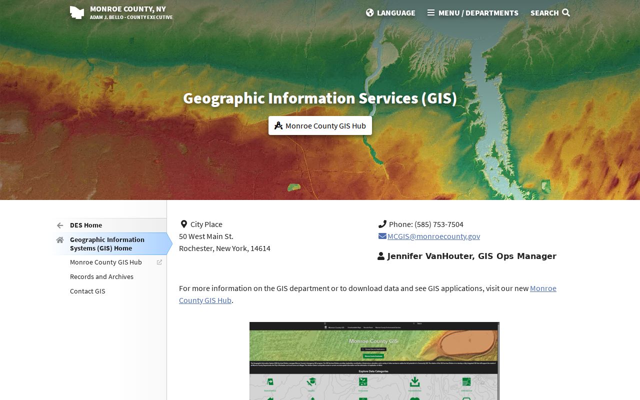
The Penfield GIS entry point leads to the parcel and ZIP layers used to compare a Penfield street address, map location, and owner-mailing field without treating those Penfield fields as a household list.
- Parcel
- A mapped Penfield property unit tied to an identifier, assessment data, and geometry. It can be a stronger Penfield cross-source key than a similar street number.
- Situs address
- The address of the Penfield parcel itself. It must be kept distinct from the address used by an owner to receive mail.
- Plat
- A Penfield lot map or plan can help identify land, but it is not a substitute for the current parcel field or legal description.
- Criss-cross directory
- A Penfield address-first directory tool produces historical leads that need confirmation from another dated record.
Follow Penfield Street Deed Entries
For Penfield ownership history along a road, the Monroe County Clerk land-record page and IQS index are the official route. The index covers deeds, mortgages, assignments, satisfactions, judgments, liens, and maps. Search the current Penfield recorded party or book and page, record the instrument type and recording date, then use the earlier grantor as the next party to test. Compare Penfield legal description, municipality, tax ID, lot description, and metes and bounds as the chain moves backward. A similar Penfield address alone is not enough.
The Clerk says many Penfield records from the 1970s to the present are searchable, but an official starting year for the full online index was not located. Online indexing remains free. Since April 1, 2026, original document images require a subscription online, while Clerk public terminals provide a no-cost image and index route for Penfield instruments. If an image is unavailable online, request it at the terminal or use the Clerk's phone, mail, fax, or order-form process with record type, parties, filing date, Penfield property address, book or page, or tax ID. Ordinary copies are listed at $0.65 per page with a $1.30 minimum; certified-copy and search fees are separate.
View the Monroe Clerk land-record access information before starting an instrument search.
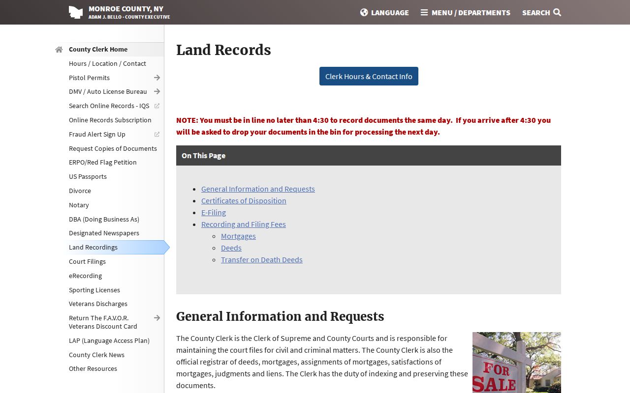
The Clerk access page separates a free public index from subscription-gated online images and identifies the Clerk terminal as the alternative for full no-cost viewing.
The Clerk also offers SearchIQS Fraud Alert for registered names or properties. The alert sends notice of a new filing. It does not prevent recording or replace review of the official instrument.
Penfield Street Address Records
Each address-keyed system establishes a limited fact. A parcel report can identify an owner of record and property characteristics. GIS identifies geography and related fields. The Clerk index describes recorded instruments. Voter lookup and supervised inspection follow their own purpose and privacy rules. Building and Code Enforcement records concern a project or enforcement matter, not a resident roll. The table keeps those roles visible when working by street.
| Address record | What it can show | Penfield or County keeper | Access route |
|---|---|---|---|
| Assessment and parcel | Parcel ID, owner of record, roll facts, building and sales fields | Penfield Assessor and Monroe Real Property | BAS or County report online; Assessor request, phone, or office route; Local History Room for older files |
| GIS parcel layer | Situs, parcel geometry, owner mailing, historic book or page | Monroe County GIS | Online GIS service; retain service date and layer context |
| Recorded land instruments | Parties, dates, instrument references, legal description | Monroe County Clerk | Free IQS index; Clerk terminal; phone, mail, fax, order form, or certified-copy route |
| Election record | Limited registration and polling information where available | Monroe Board of Elections | Address-plus-name lookup or supervised inspection; confidential registration and restricted fields apply |
| Building or code file | Permit, inspection, certificate, or enforcement context | Penfield Building and Code Enforcement | Department and Town Hall route; request only existing needed records because attachments may be private |
| Historical directory or local file | Dated occupant, owner, business, or locality clue | Rochester Public Library and Penfield Local History Room | Digitized volumes where available, library material, seasonal-hour verification, or historian appointment |
When a needed administrative record is not in a specialized system, Monroe County FOIL accepts online, printable-form, phone, fax, and email routes for reasonably described existing records. Request a department, title, file designation, and date range. FOIL does not require the County to create a street-by-street compilation, and it does not override the separate rules for court, voter, vital, or confidentiality records.
Penfield Street Address History
Historical directories give the address trail its household layer. Rochester city directories begin in 1827. The house-directory supplements from 1892 through 1920 are the strongest identified run for street-address occupants. From about 1922 to 1924, house information moved to the back of main directories. Existing Rochester volumes have been digitized through 1946, while regional suburban directories cover 1930 through 1940. A title or year does not prove that a volume includes Penfield, so inspect the actual volume before treating a no-hit as meaningful.
Run an address forward through the relevant directory years, then run a listed name back through other addresses and the deed index. Compare the source's street number, family initials when public in that source, business line, and parcel. A historical directory can identify an occupant, owner, business, boarder, or nearest entry, so carry the printed category and page. The Local History Room at the Penfield Community Center and Public Library holds directories, census material, family and property files, maps, clippings, church and cemetery records; appointment-based research and seasonal hours should be checked first.
Note: A directory no-hit is useful only after confirming that the specific volume covers both the street and the year.
Penfield Street Record Labels
A clear result keeps the record role and freshness visible. Store the normalized address and source spelling, historical spelling where present, ZIP returned by USPS, municipality or SWIS, parcel ID, directory year and page, deed instrument and date, current-record date, historical-source date, search method, coverage checked, confidence, and a no-hit explanation. These fields distinguish an indexed image not obtained from a record that was never online, a volume not checked, or a genuine mismatch.
Use a match label that fits the evidence: exact source match, strong cross-source match, probable, ambiguous, or not a match. A deed party plus parcel ID can be strong evidence of recorded ownership, not occupancy. A historical directory name plus street and year can support a dated occupancy lead, not a current-residence claim. The County GIS item received a July 2026 tax-parcel update, and the Clerk image rule changed in 2026, so a live portal date should not be blended with an archival directory date.
Limits of Penfield Street Records
No address search is a complete list of a road's present households. Assessment cards are parcel-centered and may describe a business or non-household use. A deed, mortgage, lien, judgment, or satisfaction has a distinct legal role and does not prove physical presence. GIS adjacency shows mapped parcels, not social relationships. USPS ZIP results do not confirm occupancy. Court information can be sealed, confidential, restricted, unentered, or unavailable online, while voter records can be confidential and exclude protected identifiers.
New York's Address Confidentiality Program gives qualifying participants a substitute mailing address, and State and local agencies must safeguard the actual address under program rules. Do not seek to reconstruct a protected location from public fragments. For correction of a property-card field, contact the Town Assessor or County Real Property; for a land-index issue, contact the Monroe County Clerk; and for an election issue, contact the Monroe Board of Elections.
Lawful use. Use address records for family history, estate research, property questions, civic context, and other lawful personal purposes. Do not use them to stalk, harass, track, or harm a person, and do not combine them into a live household map.